


11.9 km | 15.1 km-effort


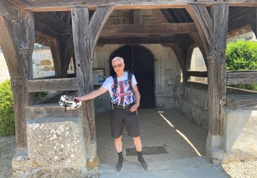
User


FREE GPS app for hiking
 SityTrail
IGN / Geographical institutes
SityTrail World
The world is yours!
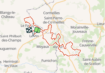
Trail Mountain bike of 41 km to be discovered at Normandy, Calvados, Le Pin. This trail is proposed by tracegps.
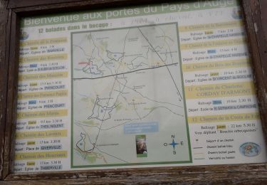
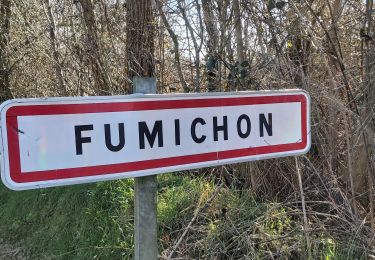
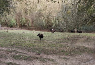
Randonnée où le plus beau est au milieu, autour d'Asnières, Bailleul La Vallée pour un finish en passant au près de Saint Pierre de Cormeille et de Moyau, bonne randonnée.
Walking
Walking
Road bike
Walking
Walking
Walking
Walking
Walking